Rillford
An open working village shaped by river crossings, practical roads and the land around it—not by walls or fortifications.
Illustrated local map
Rillford grew around work rather than defence. Vineyards, river branches and practical roads occupy the cultivated edge before the land darkens into Drenwood.
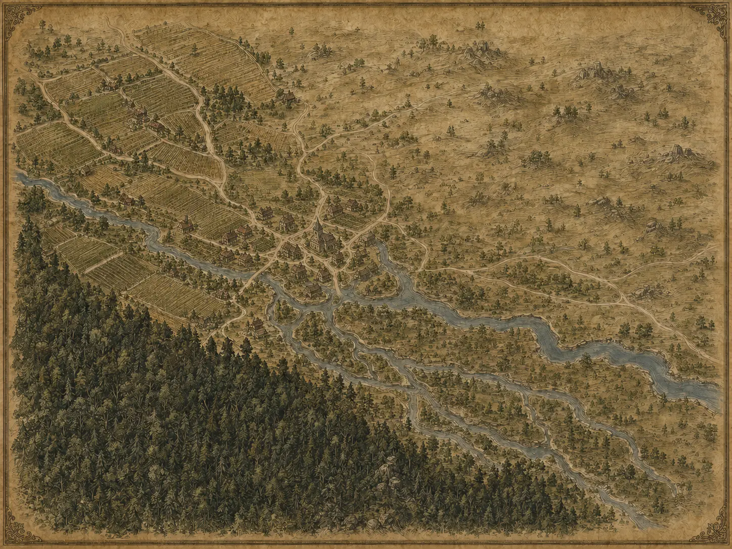
An open working village shaped by river crossings, practical roads and the land around it—not by walls or fortifications.
Cultivated ground spreads outward through working plots, storage yards and routes built for labour.
The dense forest begins where maintained land gives way to older growth and broken sightlines.
The approved regional map establishes direction and distance. This closer interpretation gives those established relationships the same illustrated parchment language as the wider world map.
Individual houses, field boundaries and minor tracks remain intentionally unlabelled. They provide visual texture without turning every mark into fixed canon.